Oxfordshire
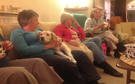
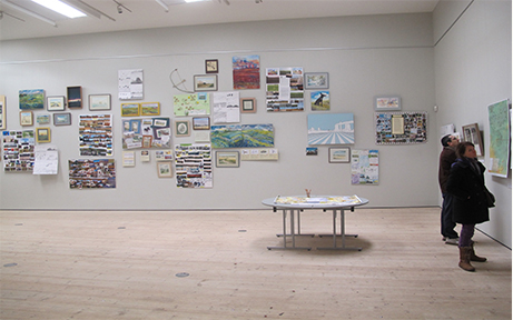
In the summer of 2012, I drew from a footpath in Didcot, overlooking an archeological site being excavated by Oxford Archeology, ahead of a large housing development. I began talking to the local community who walked there, many of them with their dogs. The local name for this footpath is the Didcot Dog Mile. People started to bring works of art and photographs to show me, to illustrate the beauty of this landscape pre development. Although the community had lost the battle to save the site from being built on, an idea developed to memorize it, by holding an exhibition. This was held at the Didcot Art Centre: The Cornerstone, and showed work by the community, by archeologists and myself, all centered around this landscape. Around 122 people contributed, there was great media and public interest, resulting in the community inviting the then minister of culture, Ed Vaizey and the head of the Archeology Institute at the University of Oxford: Professor Chris Gosden to the exhibition. The outcomes were a web site being developed by Karen Leahy, who is a Didcot designer and Dog walker, and renewed efforts were made to set up an archeology trail, to show and immortalize part of Dicot’s rich and valuable history. The struggle is ongoing.
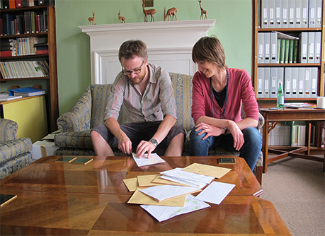
Meeting to discuss exhibition
Didcot exhibition
I appeared on BBC South Today to discuss the Didcot Mile Exhibition Youtube
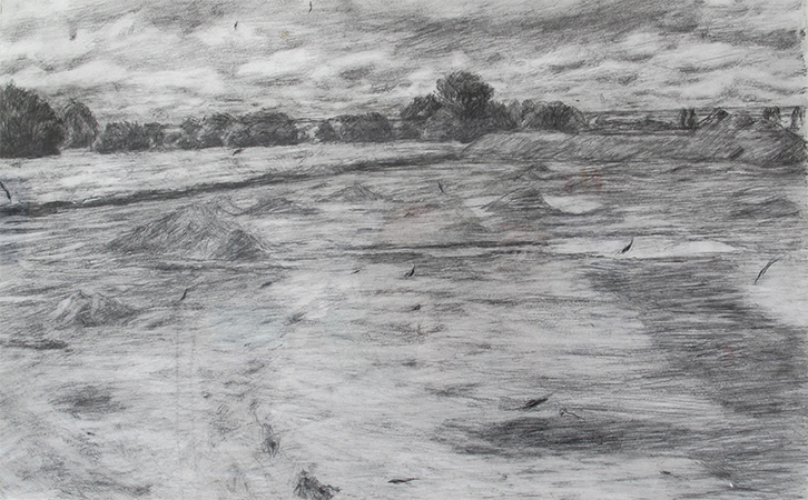
Port Meadow
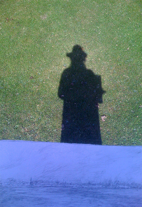
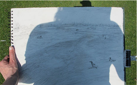
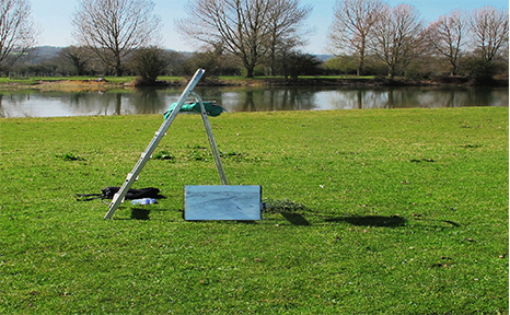
Port Meadow is an ancient common land (440 acres) close to the center of Oxford. This drawing was made over the period of 4 days, on the east side of the River Thames looking north towards Wolvercote.
In order to see this flat land with its very subtle archeological ridges (some dating from the Iron Age) I used a household stepladder and drew from the top of it in strong sunlight.
On top of the ladder
Wittenham Clumps
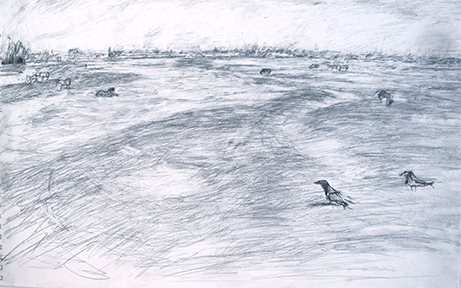
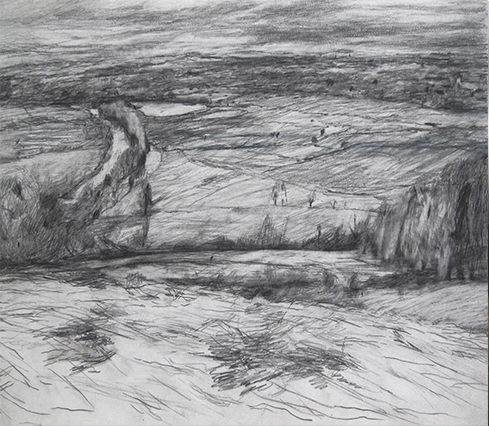
For the month of January 2012 and 2013, I drew from Wittenham clumps on Round Hill, overlooking the Thames Valley and Dorchester (on the right hand side of the picture).
In this drawing I was interested in the flatness and simplicity of the river, in contrast to the complicated landscape and weather patterns.
The whole valley has records of archaeology and human occupation for each period starting from the Neolithic.
Tunning alongside the river are Dyke Hills, an important Iron Age site.
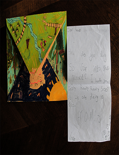
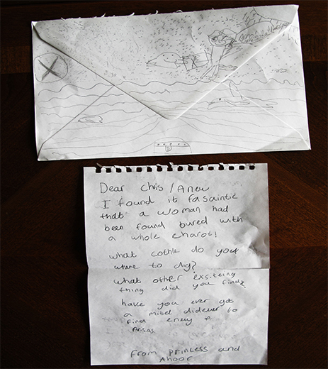
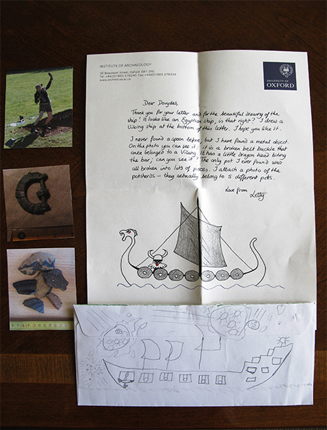
Larkrise Letters
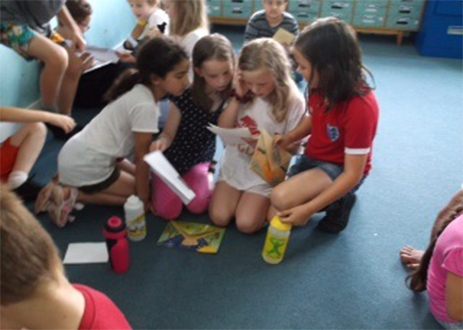
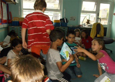
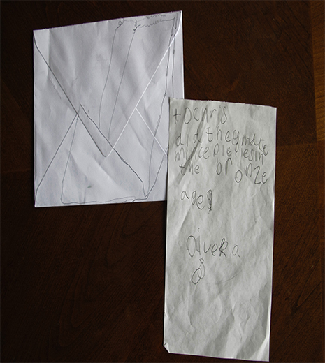
Dr Anwen Cooper and Miranda Creswell collaborated on a project centered in a primary school in Oxford.
The simple idea was to ask the children to hand write a letter directly to an archeologist working at the University of Oxford, with a question of their own, and get a handwritten letter directly back.
In order to prepare for this, Anwen and Miranda went into the school several times to talk about being an artist and an archeolgist. They also ran workshops and explored ideas comparing the Nile and the Thames valley and drawing landscape.
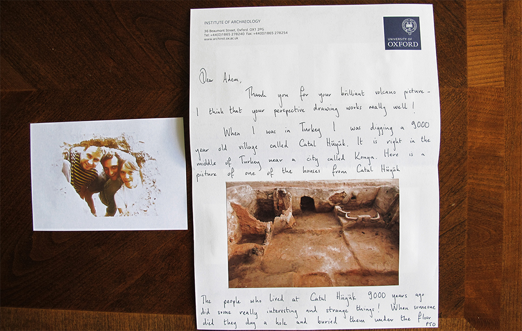
Children’s letters and archeologist’s answers
Dr Letty Ten Harkel
Dr Chris Green and Dr Anwen Cooper open Larkrise letters in the Institute of Archeology common room, University of Oxford
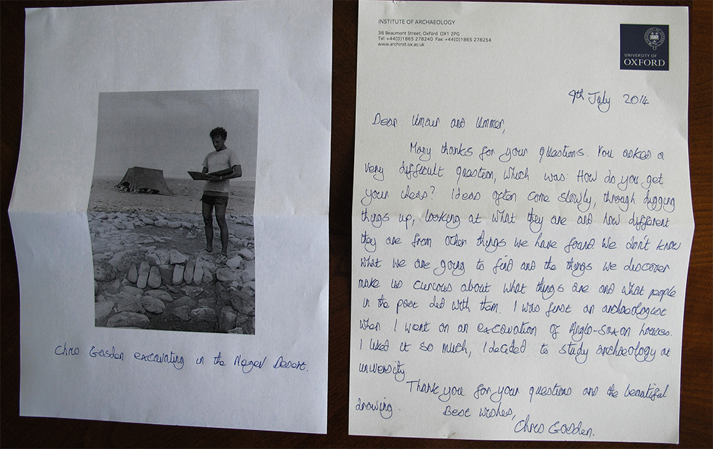
Professor Chris Gosden
Dr Anwen Cooper