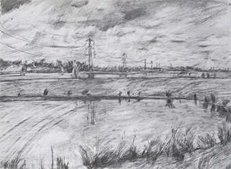
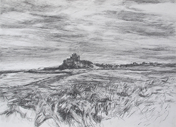
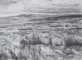
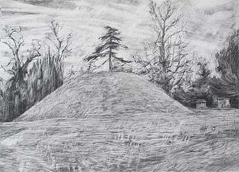
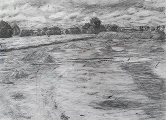
I am the project artist for the archaeology, landscape research group EngLaID, based at the University of Oxford. EnglaID is a big data project looking at the shaping and identity of the English landscape from 1500 BC to 1086 AD. Recording England is the title of one section of this project, which involves making drawings on site, over several days, in each of the 14 case study regions in England. This project will finish in 2016/17.
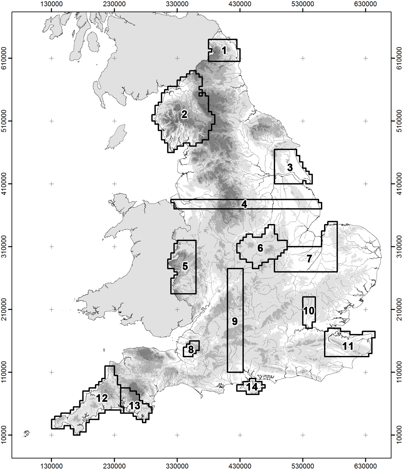
Case Study Map
The numbers on the map correspond to the numbers of the drawings. The drawings with county titles were made before the case study areas had been finalized, but are still relevant to the project as a whole.
1 Northumberland
4 Mid-England-Transect
9 Avon-Thames-Transect
12 Cornwall
13 Dartmoor, Tamar Valley
11 Kent
Buckinghamshire
Oxfordshire